
Montgomery Township ZIP Coverage
Somerset County's directory and Montgomery Township's FAQ identify five postal labels used by addresses in or associated with the township. The table treats them as postal clues, not as proof of a township line. Belle Mead, Skillman, and Blawenburg are the cited examples that are definitely Montgomery Township. Princeton and Hopewell need an address-by-address jurisdiction check because either postal label may reach outside the township.
| ZIP | Areas Covered | Post Office | Notes |
|---|---|---|---|
| 08502 | Belle Mead postal place used in Montgomery materials | Belle Mead postal district | Cited as a Montgomery Township example; exact ZIP polygon was not located |
| 08558 | Skillman postal place used in Montgomery materials | Skillman postal district | Strong Montgomery Township postal clue, not a township boundary |
| 08504 | Blawenburg postal place used in Montgomery materials | Blawenburg postal district | Cited as a Montgomery Township example; delivery edge was not located |
| 08540 | Princeton postal place associated with some local addresses | Princeton postal place | A Princeton address may or may not be in Montgomery Township |
| 08525 | Hopewell postal place associated with some local addresses | Hopewell postal place | A Hopewell address may or may not be in Montgomery Township |
The ZIP code directory is therefore a first sorting tool. It should send a researcher to the particular address, parcel, and municipality instead of producing a township-wide list from the postal label alone.
Montgomery Township Postal Places
Montgomery Township is a Somerset County township with hamlets, post offices, and route names rather than one city-center address vocabulary. Belle Mead, Skillman, Blawenburg, and Princeton can appear as current or historical postal places. Harlingen, Dutchtown, Zion, and Bridgepoint also occur in local history and road context. A record might identify a road, a hamlet, the township, the county, or a nearby business center.
That local pattern explains why a Montgomery Township postal search must retain all of the address text. Do not replace a road and municipality with only the postal place. The original label can be the key to finding a map point, while the mapped parcel determines which government office holds the relevant record.
Note: Exact ZIP split dates, delivery-boundary maps, population counts, and unique or PO-box-only local ZIPs were not verified in the research.
Verify Montgomery Township Postal Labels
For one address, verify the postal designation first, then use the township map and parcel detail for jurisdiction. This prevents a false match when a Princeton or Hopewell label reaches an address outside Montgomery Township. The workflow is modest by design: it confirms a delivery label and then checks a governmental map record rather than assuming a ZIP is a boundary.
- Enter the complete delivery address in the USPS address lookup and retain the returned postal form.
- Search the same address in the Montgomery General Map. Compare its post office, ZIP, ZIP+4, parcel ID, block, lot, and municipal context with the postal result.
- If the map resolves a parcel, use its municipality, block, and lot for a land-record search. The legal description is steadier than a postal label when delivery or route names change.
- When the goal becomes a named road or a parcel chain, continue with the Montgomery Township street directory process instead of trying to make a ZIP into a street-level record.
The official USPS lookup is the address-to-postal checkpoint before a local GIS search.
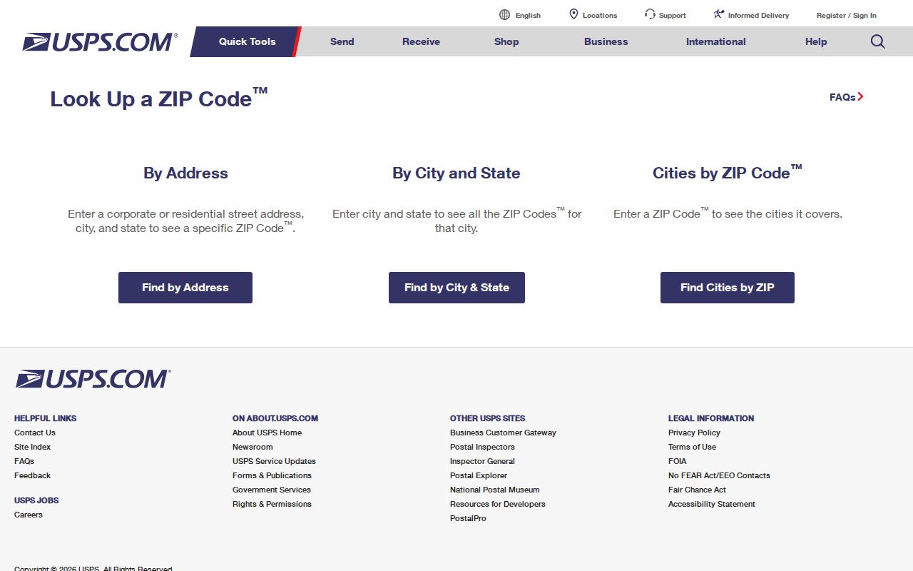
A USPS result identifies the postal side of the address. It still needs the GIS and parcel step when a search depends on Montgomery Township jurisdiction.
Montgomery Township GIS ZIP Fields
The Montgomery Township GIS Hub publishes the local map environment. Its Addresses layer includes Zip Code, Zip Code +4, post office, address type, revision dates, latitude and longitude, street components, parcel ID, E911 information, and district fields. A query can use the Zip Code field, but the General Map's ordinary search accepts an address or BLOCK_LOT, not a verified ZIP-wide result.
| Map interface | Field or input | What it supports | Limit |
|---|---|---|---|
| GIS Addresses layer | Zip Code | Querying address points by their postal ZIP field | Address-point result, not a verified resident list |
| GIS Addresses layer | Zip Code +4 and Post Office | Refining postal context for a mapped address | Still needs a parcel and municipality check |
| General Map | Address | Finds an address point and related parcel context | Does not accept a ZIP-wide search as its normal mode |
| General Map | BLOCK_LOT | Finds a tax parcel from its block and lot | Parcel layer does not expose ZIP as a primary field |
The Montgomery Township GIS Hub is the source for this address-and-parcel map view.
Use the map to connect a postal address to its parcel identifiers. It is not an official ZIP-wide result screen or a substitute for the Township's jurisdiction records.
Montgomery Township ZIP Search Limits
Neither the County Clerk land index nor the public voter check operates as a ZIP directory. Somerset AcclaimWeb searches parties, legal descriptions, document types, dates, book and page, instrument number, and its older Alpha Index. It has no ZIP search tab. Use the GIS parcel's municipality, block, and lot to reach AcclaimWeb, then map any resulting address back to its postal context if needed.
New Jersey's voter check is person-centered, using name and date-of-birth matching. The Somerset voter-list request allows a county, municipality, voting district, or another geographic area, but no verified ZIP filter was found. It is limited to political and election purposes and prohibits resale, harassment, and non-election use. A ZIP label should not be used to imply a public list of everyone nearby.
Note: Neither reviewed official interface supplied a verified ZIP-wide resident result, so postal sorting must lead back to an individual address.
Montgomery Township Boundary Check
The central postal-boundary rule is simple: a postal place is not a municipal boundary. Montgomery Township's FAQ explicitly warns that a Princeton or Hopewell address may or may not be inside the township, even though the ZIP label looks familiar. Belle Mead, Skillman, and Blawenburg are definite Montgomery Township examples in the cited materials, but an exact delivery edge was not verified for each ZIP.
This two-source check is especially useful near a line or when an older document uses a postal place instead of the incorporated township. A mapped jurisdiction can guide the next request to the township, Somerset County, or another custodian.
Montgomery Township Address Labels
New Jersey's address-points model describes postal and subaddress information, road-segment linkage, and NG911-oriented address data. Montgomery Engineering is among the local partners. The state also provides address matching and reverse geocoding, with monthly source updates and batch limits at or below 1,000. Those tools help normalize an address, but a parcel is still the local land reference.
The state address-points resource illustrates the postal and road-linkage data used in local address work.
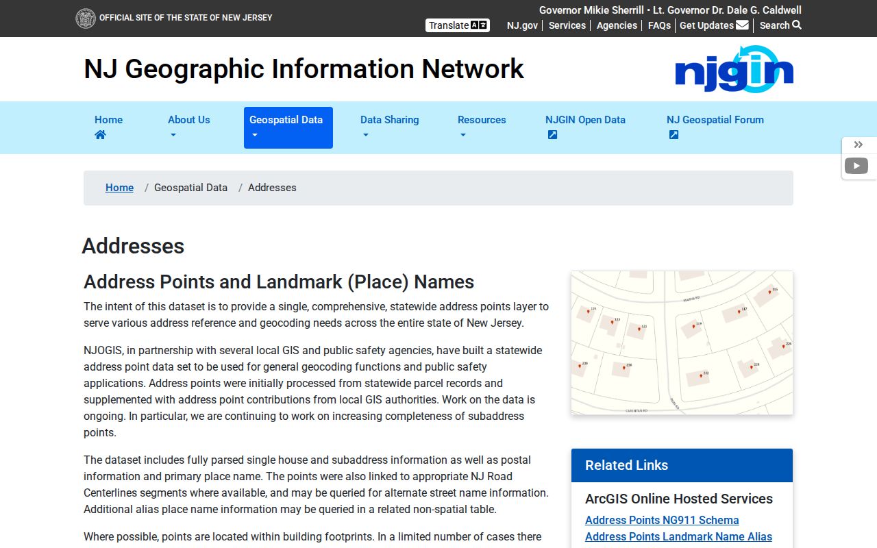
Use the state model to understand how postal components and road data can be stored. Use the township map and County Clerk records when the question concerns a particular local parcel.
Montgomery Township Address Meanings
Postal, physical, and legal labels can point to the same property while serving different purposes. Reading them separately keeps a postal search from becoming an unsupported conclusion about ownership or municipal membership. The municipality, block, lot, and legal description are often more stable than a postal label.
- ZIP and ZIP+4
- A ZIP identifies a postal delivery area; ZIP+4 adds a more specific delivery segment. Neither is a township boundary.
- PO-box ZIP
- A postal ZIP assigned for box delivery. No local PO-box-only ZIP was verified in the research.
- Unique ZIP
- A ZIP used for a single organization or delivery purpose. No Montgomery Township unique ZIP was verified.
- Carrier route
- A postal delivery grouping, not a land parcel, township line, or resident list.
- Situs address
- The physical parcel or building address, which can differ from a mailing address for tax or official correspondence.
A legal description identifies land by municipality, block, lot, or other recorded description. It is the bridge from an address point to the County Clerk's deed system.
Note: Postal labels can change without changing a parcel's legal description, which is why the municipality, block, and lot remain useful.
Montgomery Township Road Aliases
Road aliases can cross postal labels and make a ZIP search look incomplete. The Somerset County route list identifies CR 518 as Georgetown and Franklin Turnpike, CR 533 as Orchard or River Road, and CR 601 as Great Road, Belle Mead Blawenburg Road, or Trent Place. These written variants can occur in maps, deeds, and older local material.
Other aliases include CR 602 Campmeeting Avenue or Skillman Road, CR 604 Dutchtown Harlingen Road, CR 605 River Road, CR 630 Belle Mead-Griggstown Road, and CR 632 Griggstown Causeway. Search the road's route number, formal road name, and postal place together when a mapped address does not appear under the first spelling tried.
Montgomery Township ZIP Membership Myth
A ZIP does not prove municipal membership. It also does not prove a current resident, an owner, or a mailing relationship. A parcel can have a physical situs address, while an owner, trust, estate, or business receives correspondence elsewhere. The map may join the address point to a parcel, but the public GIS layer does not provide a verified owner field.
Use a postal result only for its stated purpose. Follow it with GIS and parcel information, then consult the appropriate deed, assessment, or municipal record for the specific dated fact needed. This postal reference is strongest when it resolves an ambiguity instead of trying to answer every address question.
Montgomery Township ZIP Record Steps
When a record lists Belle Mead, Skillman, Blawenburg, Princeton, or Hopewell, keep that place name with the full street address. Confirm the delivery ZIP through USPS, locate the point through local GIS, and inspect the parcel's municipality, block, and lot. A deed search follows the parcel and legal-description path, while a request for a municipal record follows the office that holds that record.
Municipal numbering can also matter. Under Montgomery Township Code §8-4, numbers generally use 50-foot frontage increments with odd numbers on the left and even numbers on the right. The US 206 sequence uses 25-foot increments between Cherry Valley and Bridgepoint before changing toward the Hillsborough line, and 13, 69, and 666 are forbidden. Keep a former number or road alias with the ZIP when comparing older documents.
That record sequence respects the difference between postal delivery, mapped location, and legal land description. It is the reliable way to resolve a Montgomery Township postal label without turning a nearby post office name into a municipal fact.