
Montgomery Township Street Directory Walkthrough
A street-by-street search works best as a record trail, not as a roster. Start with the exact address in the township map, retain the parcel identifier, and move to the land index for the legal transfer. The voter-file route is more restricted and is not a casual street list. Historic directories can add a dated household clue, but local coverage must be checked before treating an omission as meaningful. Each source answers a different question about the same place.
- Enter the normalized address in the Montgomery General Map. Save the displayed address, post office, ZIP, parcel ID, PIN, block, lot, and district details.
- Use the municipality, block, and lot in Somerset AcclaimWeb legal-description search. Read the document type, grantor, grantee, recording date, instrument number, consideration, and legal description before assuming a transfer identifies a current owner.
- For a lawful election purpose, use the Somerset voter-list request form to define a municipality, voting district, or other area. The form prohibits resale, harassment, and non-election use; the stated turnaround is one to two weeks.
- For a past address occupant, test the address and road alias in the Somerset County Library System directories, newspapers, and census material. A directory entry belongs to its publication date, not to the present.
That sequence keeps the Montgomery Township street directory tied to documented address, parcel, transfer, and historical layers. It also prevents a searcher from turning a public map result into an unsupported claim about a household.
Montgomery Township GIS Street Search
The Montgomery Township Mapping Program directs address work to the General Map. Its public search accepts a normalized address or a tax parcel written as BLOCK_LOT, such as 20001_10.05. Address results can show the post office, ZIP and ZIP+4, parcel ID, E911 number, voting, fire, and police districts, road identifiers, revision dates, and coordinates. Parcel results add the geometry and map layers needed to follow a road, but the verified public layer does not show an owner name.
The township Mapping Program shows the public GIS context used for a Montgomery Township street directory.
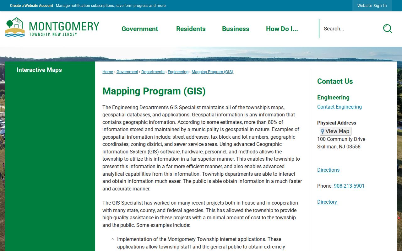
Use the map as an address-to-parcel bridge. Click the parcel and nearby address points, then carry the block and lot into the County Clerk index rather than treating the map as a complete tax card.
Street segments, parcel polygons, roads, buildings, streams, parks, and municipal boundaries can be displayed in the same application. That makes the map useful when an address sits on a long lot, at a corner, or near a municipal line. It does not establish which people occupy the building.
Note: GIS address and parcel results establish geographic context, while ownership and occupancy require separate, dated records from the appropriate custodian.
Montgomery Township Address Field Search
The Tax Assessor says valuation information and maps are maintained through the Web GIS route, but no separate public owner-name search form was verified. The field table below separates what the map can search from what has not been exposed as a public assessor form. This distinction matters when a street directory search starts with an address but the goal is to understand the parcel behind it.
| Interface | Search field or mode | Entry format | Public result |
|---|---|---|---|
| General Map | Address | Normalized street address | Address point, parcel link, ZIP, post office, districts, and geographic IDs |
| General Map | Parcel | BLOCK_LOT | Parcel geometry, PIN, block, lot, zoning, sewer, flood, and map links |
| ArcGIS parcel layer | Query or data | Layer query, object ID, or geometry | Public parcel schema, with a 2,000-record maximum |
| Tax Assessor page | No visible public form | Not verified | No owner, value, mailing-address, or exemption interface verified |
A parcel can carry block, lot, zoning, sewer status, flood information, agricultural acreage, lot-creation data, tax-map links, and historical flags. Those fields locate land and explain its municipal context. They do not verify a tax-card owner, a mailing address, or a person currently at the street number.
Montgomery Township Deeds Along Streets
After the GIS step, search the Somerset County Clerk AcclaimWeb index by legal description. Its legal-description tab includes description, lot, block, unit, municipality, freeform legal text, building, document type, and date controls. Book and page or instrument-number searches give other exact paths. The free index is the starting point, while images require a free account; unofficial watermarked images can be downloaded without paying and certified copies follow the Clerk's copy process.
Read the current purchase document first. Then search the seller as a prior grantee and repeat the sequence while the legal description remains consistent. Mortgages, releases, liens, easements, plats, and subdivision maps add useful context, but they do not all transfer ownership. The public records room is another access channel when a document or earlier index needs closer research, although County Clerk staff do not perform title searches.
Montgomery Township Street Records
Address-keyed records do not all have the same keeper or access route. The GIS holds the immediate geographic layer; the County Clerk holds the instrument index; the Board of Elections controls a restricted voter-file request; and Construction or Engineering may hold a date-bounded permit file. This Montgomery Township street directory comparison makes the limits of each source visible before a request is made.
| Address record | Keeper | What it can show | Access route |
|---|---|---|---|
| GIS address point | Township GIS | Normalized address, postal data, parcel ID, and district identifiers | Public map or REST query |
| GIS parcel | Township GIS | PIN, block, lot, zoning, sewer, flood, acreage, and map links | Public map or REST query |
| Assessment record | Tax Assessor | Fields maintained by the assessor, subject to available office or records access | Assessor, GIS route, or narrow OPRA request; public form gap |
| Deed index | Somerset County Clerk | Parties, instrument, date, type, and legal description | Free index; account or office for image and copy routes |
| Permit file | Township Construction or Engineering | Address, work, applicant, contractor, dates, and status if held | Office or narrow OPRA request; no public address search verified |
| Voter file | Somerset Board of Elections | Lawfully released registration and geographic fields | Name check or restricted county request |
The land record's municipality, block, lot, and legal description are the durable join points. A street name alone can shift with a post office label, a county-route alias, or an older numbering pattern.
Montgomery Township Voter Limits
The official New Jersey voter check is a name and date-of-birth route, not a street map. A broader Somerset voter-list request can identify an entire county, a municipality, a voting district, or another geographic area, and may limit results by party, registration date, or selected participation history. It has email, CSV, PDF, and text delivery choices. The form says large files may not be sent by email.
Its stated terms matter more than the format. The request is for political and election purposes only, prohibits commercial and non-election use, resale, and harassment, and says a request generally takes one to two weeks. The ordinary public lookup cannot expose every nearby person: renters, children, unregistered people, protected voters, and restricted identifiers are absent by design. A street-by-street inference is not a voter roster.
Note: The live voter-search form was not available for full field inspection, so its production date format should be confirmed before relying on a form-specific instruction.
Montgomery Township Permit Addresses
Montgomery Building and Construction describes permit and inspection work, but the inspected township pages did not provide a public address-search screen for permit files. Start with the office when a project date, work type, or permit number is already known. If the material is not available there, use the township's OPRA route with a narrow request that names the street address, date range, and record type.
Permit material can help date work, identify a listed applicant or contractor, and show an inspection or completion status if those records are held. It is not a substitute for a transfer document or an occupancy record. Public sewer-service polygons and district fields in GIS likewise describe infrastructure and geography, not customer accounts.
Note: A date-bounded address request is more likely to reach the right municipal permit file than a broad request for every street record.
Montgomery Township Street Aliases
Road aliases are a practical part of a Montgomery Township street directory search. County route labels can appear instead of a local road name, and rural records may use a hamlet or post office rather than the township name. The Somerset County route list identifies CR 518 as Georgetown and Franklin Turnpike, CR 533 as Orchard or River Road, and CR 601 as Great Road, Belle Mead Blawenburg Road, or Trent Place.
Other local variants include CR 602 Campmeeting Avenue or Skillman Road, CR 604 Dutchtown Harlingen Road, CR 605 River Road, CR 630 Belle Mead-Griggstown Road, and CR 632 Griggstown Causeway. Search the official number, the written road name, and the nearby postal place when an old entry does not match the current map.
Montgomery Township Street Numbers
Municipal addressing can explain an apparent gap in a street directory. Under Montgomery Township Code §8-4, numbers generally begin at a road-centerline intersection or an Engineer-directed point, use one number for each 50 feet of frontage, place odd numbers on the left, and place even numbers on the right. The code forbids 13, 69, and 666.
US 206 has a special rule: between Cherry Valley and Bridgepoint, the sequence uses 25-foot increments before changing to 50-foot increments toward the Hillsborough line. New buildings need an official number before a permit, and numbers must be visible from the road. When a number-only search fails, preserve the legal description and test route aliases rather than assuming a record is missing.
Historic Montgomery Township Street Listings
For an earlier household clue, the Somerset County Library System local-history collection supplies directories, newspapers, yearbooks, and other local material. Its Somerville directory run is 1917 to 1984. That run is useful nearby, but it is not proof that every Montgomery Township road or household appears in every volume. Test the locality and the street index before drawing a conclusion.
A criss-cross directory is an address index that points from a street number to a householder listing. No Montgomery-specific reverse run was verified, so it is sensible to check whether a particular volume has an address index and then read the main listing. For publisher runs and collection context, use the Montgomery Township city directories rather than assuming the historical shelf works like modern GIS.
Note: A missing Montgomery entry can reflect rural directory coverage rather than an empty address, so compare adjacent years and nearby postal places.
A Deed Does Not Prove Occupancy
A party on a deed, a tax parcel, or a mailing field can be an owner, a trust, an estate, a business, or a fiduciary at the time the record was made. A situs address is the physical parcel or building. A mailing address is where official or tax correspondence is directed. Neither field proves who currently sleeps at the location.
- Parcel
- A mapped unit of land, often identified here by PIN, block, and lot.
- Situs address
- The physical address of the land or building, which can differ from a correspondence address.
- Plat
- A recorded map that can show subdivision lots, boundaries, and the legal layout of land.
- Criss-cross directory
- A directory arranged by address so a street number can lead to a dated listing.
Use each field for the limited fact it documents. Comparing independent, date-stamped records is more reliable than turning one owner or deed result into a present-residence statement.
Montgomery Township Street Search Limits
Public address records leave deliberate gaps. The verified GIS parcel layer has no owner field, utility customer data is not a public people source, and DMV residence data is controlled by the federal Driver's Privacy Protection Act. Voter records also withhold restricted identifiers and protect eligible participants. A missing result can reflect privacy, a record's date, a different postal label, or an access method that requires an office request.
A targeted request to the right custodian is the proper fallback for a documented municipal record. The New Jersey Open Public Records Act can provide a request route, but exempt information remains protected and should not be pursued through a broad street search.